

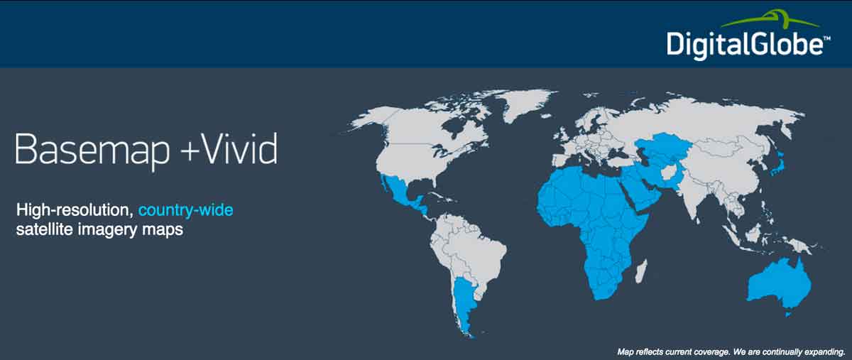
 DigitalGlobe, Inc. a leading global provider of high-resolution earth imagery and geospatial solutions, has announced the general availability of its Basemap +Vivid product for the entire African continent. Keeping pace with the rapid evolution of mapping technology, this is the first time that a complete, consistent satellite imagery base layer with 50 cm ground resolution has been available for Africa.
“Demand continues to grow, fueled by both regional projects and programs that require consistent quality coverage of an entire country.”
Many parts of Africa have never been mapped at this resolution from space, and never before has there been a complete imagery base map of Africa with this level of detail. While 50 cm satellite imagery for Africa has been available since 2008, it previously only covered smaller areas of interest.
This Africa base map strives to maximize consistency and completeness of the imagery, aligning to DigitalGlobe’s A3C quality program. Whether zoomed out to view an entire country, or zoomed in all the way down to view local vegetation, dwellings, and infrastructure, the imagery looks the way a user expects the earth’s surface to look. This uniformity helps local governments or global development agencies to build out maps and value-added information layers such as road vectors or population polygons for the people they serve. For web-enabled mapping platforms and location-based applications, users will stay immersed in their experience and not be distracted by inconsistencies in the imagery.
“This is an important accomplishment in response to requests from our customers to create a verifiable, authoritative base map covering the entire continent,” said Hyune Hand, DigitalGlobe’s Senior Vice President for Product Marketing and Management. “Demand continues to grow, fueled by both regional projects and programs that require consistent quality coverage of an entire country.”
DigitalGlobe was in a unique position to develop this product with the world’s most advanced constellation of commercial imaging satellites and six years’ worth of sub-50 cm archive imagery. Not only does DigitalGlobe have the largest and most comprehensive archive of commercial satellite imagery for source data, but the research and development teams have invented and patented algorithms to process imagery at an unmatched speed and scale. Now prospective imagery users do not have to tackle the challenges of building a large imagery mosaic – such as inconsistencies between images, misalignment, visible seam lines, color imbalances, seasonality, haze, and cloud cover – to have a country-wide imagery layer on which to build the next generation of maps and applications.
Many organizations across the spectrum – public, private, and not-for-profit – are now able to use this unique imagery base map to help achieve their goals. Go to explore.digitalglobe.com/Basemap-Vivid.html to learn more.


[…] 2015-05-02SimScale for Startups brings Engineering Simulation to Small Business through the CloudDigitalGlobe Produces the first complete and consistent hires satellite imagery base map of AfricaSnapchat may or may not be for everyoneHow to make an Animated InfographicRolling with the Alexa on […]